
Comparison of methods for classification and segmentation of point clouds from Terrestrial Laser Scanner
| Betreuung: | Gaël Kermarrec |
| Bearbeitung: | Zhonglong Yang |
| Jahr: | 2022 |
| Datum: | 09-02-22 |
| Laufzeit: | 10/2021 - 04/2022 |
| Ist abgeschlossen: | ja |
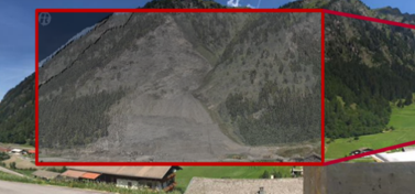
The smooth and accurate approximation of point clouds containing objects or domains with inhomogeneous structures (stone, buildings, roads etc) is far from evident. The goal of the master thesis is to test different methods for segmentation and classification of Terrestrial Laser Scanner point clouds including deap learning strategies. The thesis should only be based on the Matlab environment.


