
Evaluating the Impact of LoD2 geometrical simplifications on Georeferencing
 © GIH
© GIH
| Betreuung: | Mohamad Wahbah, Sören Vogel, Hamza Alkhatib |
| E-Mail: | mohamad.wahbah@gih.uni-hannover.de |
| Jahr: | 2024 |
| Datum: | 01-12-23 |
Background
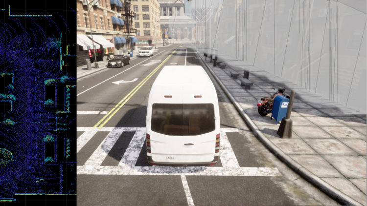
Geo-referencing of LiDAR Point Clouds (PCLs) can be used estimate the global position of a vehicle in urban settings. This approach must operate fast enough to be considered for real-time sensitive applications, such as Autonomous Vehicles (AVs). Maps with reduced level of details are hence a good candidate for such applications, as they reduce the complexity of the georeferencing process, require less storage, and are easier to generate. However, the reduction in details will introduce a generalization error, that will impact the quality of positioning.
Objective
In this master thesis, the effect of generalization of Level of Detail 2 (LoD2) maps on state estimation is to be studied through analyzing the performance of a nonlinear Kalman Filter (KF). The aim of the thesis is
- Evaluate the applicability of LoD2 maps in AVs,
- Evaluate their effect on position, velocity, and orientation estimates, and
- Devise schemes to incorporate the generalization loss in the filter tunning.
Approach
A simulated environment is to be used to compare the performance of a KF equipped with an ideal geometrically accurate 3D map to a similar KF utilizing a LoD2 map. The difference in performance must be studied in different scenarios and generalized to an urban environment. The task is then to reduce this gap by proposing better filter tunning approaches and PCLs pre-processing techniques.
Provided support
The simulated environment and the sensor measurements.
Recommended pre-requisites:
- Essential: Python, PCL processing.
- Good-to-know: Matlab, ROS.


